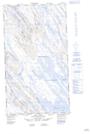
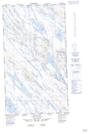
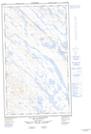
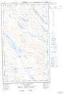
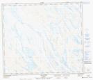
Maps showing Rivière Ferrum, Rivière-Koksoak; Kativik, Quebec
Rivière Ferrum is a River located in Rivière-Koksoak; Kativik, Quebec and has an elevation of 446 meters.
- Latitude: 55° 26' 2'' North (decimal: 55.4339939)
- Longitude: 67° 22' 58'' West (decimal: -67.3829002)
- Topography Feature Category: River
- Geographical Feature: Rivière
- Canadian Province/Territory: Quebec
- Elevation: 446 meters
- Location: Rivière-Koksoak; Kativik
- Atlas of Canada Locator Map: Rivière Ferrum
- GPS Coordinate Locator Map: Rivière Ferrum Lat/Long
Rivière Ferrum NTS Map Sheets