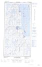
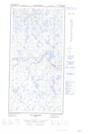
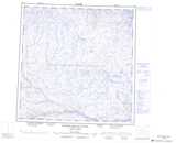
Maps showing Ruisseau Fingerling, Rivière-Koksoak; Kativik, Quebec
Ruisseau Fingerling is a River located in Rivière-Koksoak; Kativik, Quebec.
- Latitude: 60° 52' 23'' North (decimal: 60.8730186)
- Longitude: 70° 7' 40'' West (decimal: -70.1276597)
- Topography Feature Category: River
- Geographical Feature: Ruisseau
- Canadian Province/Territory: Quebec
- Location: Rivière-Koksoak; Kativik
- GPS Coordinate Locator Map: Ruisseau Fingerling Lat/Long
Ruisseau Fingerling NTS Map Sheets