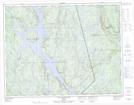
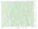
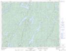
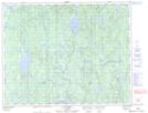
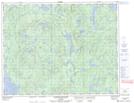
Maps showing Rivière Fontmarais, Rivière-aux-Outardes; Manicouagan, Quebec
Rivière Fontmarais is a River located in Rivière-aux-Outardes; Manicouagan, Quebec and has an elevation of 429 meters.
- Latitude: 50° 12' 34'' North (decimal: 50.2094759)
- Longitude: 67° 56' 38'' West (decimal: -67.9439275)
- Topography Feature Category: River
- Geographical Feature: Rivière
- Canadian Province/Territory: Quebec
- Elevation: 429 meters
- Location: Rivière-aux-Outardes; Manicouagan
- Atlas of Canada Locator Map: Rivière Fontmarais
- GPS Coordinate Locator Map: Rivière Fontmarais Lat/Long
Rivière Fontmarais NTS Map Sheets
022J04 Lac Sainte-Anne Topographic Map at 1:50,000 scale
022J05 Lac Beaudin Topographic Map at 1:50,000 scale
022K08 Lac Clairval Topographic Map at 1:50,000 scale
022K09 Lac Lemay Topographic Map at 1:50,000 scale
022K16 Lac Mistachagagane Topographic Map at 1:50,000 scale
022J Sept-Iles Topographic Map at 1:250,000 scale
022K Lac Berte Topographic Map at 1:250,000 scale