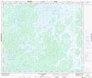
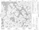
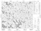
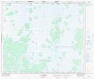
Maps showing Lac Forty-Two, Caniapiscau; Caniapiscau, Quebec
Lac Forty-Two is a Lake located in Caniapiscau; Caniapiscau, Quebec.
- Latitude: 54° 29' 12'' North (decimal: 54.4866667)
- Longitude: 69° 5' 4'' West (decimal: -69.0844444)
- Topography Feature Category: Lake
- Geographical Feature: Partie de réservoir
- Canadian Province/Territory: Quebec
- Location: Caniapiscau; Caniapiscau
- GPS Coordinate Locator Map: Lac Forty-Two Lat/Long
Lac Forty-Two NTS Map Sheets