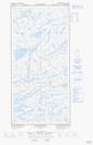
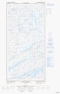
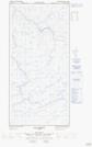
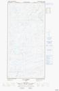
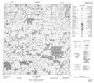
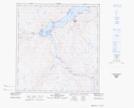
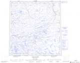
Maps showing Rivière Foucault, Baie-d'Hudson; Kativik, Quebec
Rivière Foucault is a River located in Baie-d'Hudson; Kativik, Quebec and has an elevation of 124 meters.
- Latitude: 62° 9' 58'' North (decimal: 62.1661384)
- Longitude: 75° 48' 4'' West (decimal: -75.8011828)
- Topography Feature Category: River
- Geographical Feature: Rivière
- Canadian Province/Territory: Quebec
- Elevation: 124 meters
- Location: Baie-d'Hudson; Kativik
- Atlas of Canada Locator Map: Rivière Foucault
- GPS Coordinate Locator Map: Rivière Foucault Lat/Long
Rivière Foucault NTS Map Sheets
035G10E Lacs Nuvilic Topographic Map at 1:50,000 scale
035G10W Lacs Nuvilic Topographic Map at 1:50,000 scale
035G11E Lac Parent Topographic Map at 1:50,000 scale
035G11W Lac Parent Topographic Map at 1:50,000 scale
035G13 Lac Vanasse Topographic Map at 1:50,000 scale
035G14 Topographic Map at 1:50,000 scale
035J04 Salluit Topographic Map at 1:50,000 scale
035G Lacs Nuvilic Topographic Map at 1:250,000 scale
035J Salluit Topographic Map at 1:250,000 scale