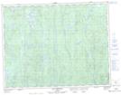
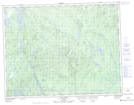
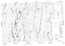
Maps showing Rivière des Framboises, Rivière-Mistassini; Maria-Chapdelaine, Quebec
Rivière des Framboises is a River located in Rivière-Mistassini; Maria-Chapdelaine, Quebec and has an elevation of 373 meters.
- Latitude: 50° 13' 30'' North (decimal: 50.2250645)
- Longitude: 72° 42' 17'' West (decimal: -72.7048435)
- Topography Feature Category: River
- Geographical Feature: Rivière
- Canadian Province/Territory: Quebec
- Elevation: 373 meters
- Location: Rivière-Mistassini; Maria-Chapdelaine
- Atlas of Canada Locator Map: Rivière des Framboises
- GPS Coordinate Locator Map: Rivière des Framboises Lat/Long
Rivière des Framboises NTS Map Sheets