Canada Topographic Maps

Lac Francheville Topo Maps

Topography maps and Latitude/Longitude Location

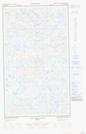
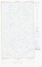
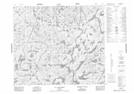
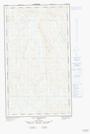
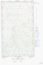
Maps showing Lac Francheville, Caniapiscau; Caniapiscau, Quebec

Lac Francheville is a Lake located in Caniapiscau; Caniapiscau, Quebec.

  • Latitude: 54° 58' 8'' North   (decimal: 54.9688889)
  • Longitude: 67° 56' 11'' West   (decimal: -67.9363889)
  • Topography Feature Category: Lake
  • Geographical Feature: Lac
  • Canadian Province/Territory: Quebec
  • Location: Caniapiscau; Caniapiscau
  • Atlas of Canada Locator Map: Lac Francheville
  • GPS Coordinate Locator Map: Lac Francheville Lat/Long

Lac Francheville NTS Map Sheets

023J13E Lac Bringadin Topographic Map at 1:50,000 scale

023J13W Lac Bringadin Topographic Map at 1:50,000 scale

023K16 Lac Lachaussee Topographic Map at 1:50,000 scale

023O04E Lac Pailleraut Topographic Map at 1:50,000 scale

023O04W Lac Pailleraut Topographic Map at 1:50,000 scale

023J Schefferville Topographic Map at 1:250,000 scale

023K Caniapiscau Topographic Map at 1:250,000 scale

023O Lac Wakuach Topographic Map at 1:250,000 scale

 
Buy Topographic Maps DVD
Newsletter Sign-up

Yes, I want to receive map store discounts.


Bookmark and Share