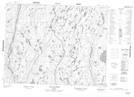
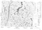
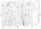
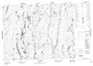
Maps showing Rivière à François, Chute-des-Passes; Maria-Chapdelaine, Quebec
Rivière à François is a River located in Chute-des-Passes; Maria-Chapdelaine, Quebec and has an elevation of 486 meters.
- Latitude: 50° 9' 23'' North (decimal: 50.1564568)
- Longitude: 71° 57' 24'' West (decimal: -71.9567523)
- Topography Feature Category: River
- Geographical Feature: Rivière
- Canadian Province/Territory: Quebec
- Elevation: 486 meters
- Location: Chute-des-Passes; Maria-Chapdelaine
- Atlas of Canada Locator Map: Rivière à François
- GPS Coordinate Locator Map: Rivière à François Lat/Long
Rivière à François NTS Map Sheets