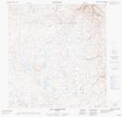
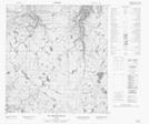
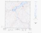
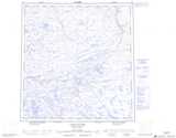
Maps showing Rivière Gatin, Baie-d'Hudson; Kativik, Quebec
Rivière Gatin is a River located in Baie-d'Hudson; Kativik, Quebec and has an elevation of 138 meters.
- Latitude: 62° 0' 28'' North (decimal: 62.0078048)
- Longitude: 75° 30' 57'' West (decimal: -75.5158929)
- Topography Feature Category: River
- Geographical Feature: Rivière
- Canadian Province/Territory: Quebec
- Elevation: 138 meters
- Location: Baie-d'Hudson; Kativik
- Atlas of Canada Locator Map: Rivière Gatin
- GPS Coordinate Locator Map: Rivière Gatin Lat/Long
Rivière Gatin NTS Map Sheets