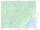
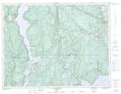
Maps showing Rivière Georges-Tremblay, Baie-Comeau; Manicouagan, Quebec
Rivière Georges-Tremblay is a River located in Baie-Comeau; Manicouagan, Quebec and has an elevation of 91 meters.
- Latitude: 49° 13' 34'' North (decimal: 49.2261586)
- Longitude: 68° 30' 22'' West (decimal: -68.5061505)
- Topography Feature Category: River
- Geographical Feature: Rivière
- Canadian Province/Territory: Quebec
- Elevation: 91 meters
- Location: Baie-Comeau; Manicouagan
- Atlas of Canada Locator Map: Rivière Georges-Tremblay
- GPS Coordinate Locator Map: Rivière Georges-Tremblay Lat/Long
Rivière Georges-Tremblay NTS Map Sheets