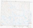
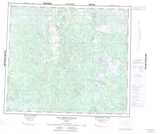
Maps showing Rivière Gérard, Rivière-Koksoak; Kativik, Quebec
Rivière Gérard is a River located in Rivière-Koksoak; Kativik, Quebec.
- Latitude: 55° 10' 29'' North (decimal: 55.1747222)
- Longitude: 65° 37' 11'' West (decimal: -65.6197222)
- Topography Feature Category: River
- Geographical Feature: Rivière
- Canadian Province/Territory: Quebec
- Location: Rivière-Koksoak; Kativik
- GPS Coordinate Locator Map: Rivière Gérard Lat/Long
Rivière Gérard NTS Map Sheets