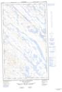
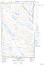
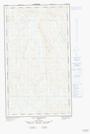
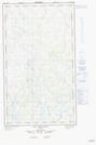
Maps showing Lac Gillespie, Rivière-Koksoak; Kativik, Quebec
Lac Gillespie is a Lake located in Rivière-Koksoak; Kativik, Quebec and has an elevation of 508 meters.
- Latitude: 55° 9' 46'' North (decimal: 55.1628814)
- Longitude: 67° 30' 4'' West (decimal: -67.5012375)
- Topography Feature Category: Lake
- Geographical Feature: Lac
- Canadian Province/Territory: Quebec
- Elevation: 508 meters
- Location: Rivière-Koksoak; Kativik
- Atlas of Canada Locator Map: Lac Gillespie
- GPS Coordinate Locator Map: Lac Gillespie Lat/Long
Lac Gillespie NTS Map Sheets