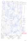
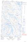
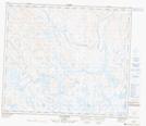
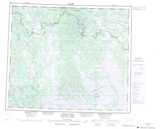
Maps showing Lac Godefroy, Lac-Juillet; Caniapiscau, Quebec
Lac Godefroy is a Lake located in Lac-Juillet; Caniapiscau, Quebec and has an elevation of 478 meters.
- Latitude: 54° 59' 17'' North (decimal: 54.9880556)
- Longitude: 65° 47' 39'' West (decimal: -65.7941667)
- Topography Feature Category: Lake
- Geographical Feature: Lac
- Canadian Province/Territory: Quebec
- Elevation: 478 meters
- Location: Lac-Juillet; Caniapiscau
- Atlas of Canada Locator Map: Lac Godefroy
- GPS Coordinate Locator Map: Lac Godefroy Lat/Long
Lac Godefroy NTS Map Sheets