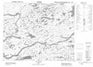
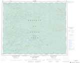
Maps showing Rapides du Grand Détour, Baie-James; Jamésie, Quebec
Rapides du Grand Détour is a Rapids located in Baie-James; Jamésie, Quebec.
- Latitude: 52° 11' 3'' North (decimal: 52.1841667)
- Longitude: 75° 53' 20'' West (decimal: -75.8888889)
- Topography Feature Category: Rapids
- Geographical Feature: Rapides
- Canadian Province/Territory: Quebec
- Location: Baie-James; Jamésie
- Atlas of Canada Locator Map: Rapides du Grand Détour
- GPS Coordinate Locator Map: Rapides du Grand Détour Lat/Long
Rapides du Grand Détour NTS Map Sheets