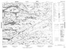
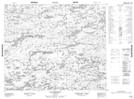
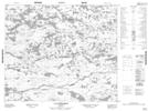
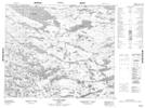
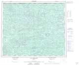
Maps showing Rivière Griault, Baie-James; Jamésie, Quebec
Rivière Griault is a River located in Baie-James; Jamésie, Quebec.
- Latitude: 54° 5' 49'' North (decimal: 54.0969444)
- Longitude: 75° 43' 23'' West (decimal: -75.7230556)
- Topography Feature Category: River
- Geographical Feature: Rivière
- Canadian Province/Territory: Quebec
- Location: Baie-James; Jamésie
- Atlas of Canada Locator Map: Rivière Griault
- GPS Coordinate Locator Map: Rivière Griault Lat/Long
Rivière Griault NTS Map Sheets