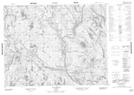
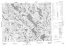
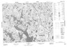
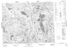
Maps showing Rivière Grossin, Petit-Mécatina; Minganie, Quebec
Rivière Grossin is a River located in Petit-Mécatina; Minganie, Quebec and has an elevation of 150 meters.
- Latitude: 50° 49' 28'' North (decimal: 50.8245129)
- Longitude: 61° 4' 12'' West (decimal: -61.0700578)
- Topography Feature Category: River
- Geographical Feature: Rivière
- Canadian Province/Territory: Quebec
- Elevation: 150 meters
- Location: Petit-Mécatina; Minganie
- Atlas of Canada Locator Map: Rivière Grossin
- GPS Coordinate Locator Map: Rivière Grossin Lat/Long
Rivière Grossin NTS Map Sheets
012K13 Lac Rancin Topographic Map at 1:50,000 scale
012K14 Lac Durocher Topographic Map at 1:50,000 scale
012K15 Lac Goyelle Topographic Map at 1:50,000 scale
012N02 Lac Montcevelles Topographic Map at 1:50,000 scale
012N03 Lac Bohier Topographic Map at 1:50,000 scale
012K Musquaro Topographic Map at 1:250,000 scale
012N Riviere Natashquan Topographic Map at 1:250,000 scale