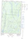
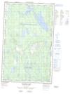
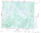
Maps showing Lac Highland, Rivière-Nipissis; Sept-Rivières, Quebec
Lac Highland is a Lake located in Rivière-Nipissis; Sept-Rivières, Quebec and has an elevation of 643 meters.
- Latitude: 52° 5' 32'' North (decimal: 52.0922754)
- Longitude: 65° 42' 25'' West (decimal: -65.7068423)
- Topography Feature Category: Lake
- Geographical Feature: Lac
- Canadian Province/Territory: Quebec
- Elevation: 643 meters
- Location: Rivière-Nipissis; Sept-Rivières
- Atlas of Canada Locator Map: Lac Highland
- GPS Coordinate Locator Map: Lac Highland Lat/Long
Lac Highland NTS Map Sheets