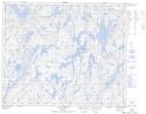
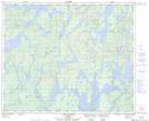
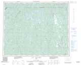
Maps showing Lac Itomamis, Rivière-Mouchalagane; Caniapiscau, Quebec
Lac Itomamis is a Lake located in Rivière-Mouchalagane; Caniapiscau, Quebec and has an elevation of 609 meters.
- Latitude: 52° 54' 45'' North (decimal: 52.9125000)
- Longitude: 69° 27' 37'' West (decimal: -69.4602777)
- Topography Feature Category: Lake
- Geographical Feature: Lac
- Canadian Province/Territory: Quebec
- Elevation: 609 meters
- Location: Rivière-Mouchalagane; Caniapiscau
- Atlas of Canada Locator Map: Lac Itomamis
- GPS Coordinate Locator Map: Lac Itomamis Lat/Long
Lac Itomamis NTS Map Sheets