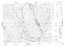
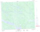
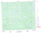
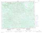
Maps showing Rivière Joir, Petit-Mécatina; Minganie, Quebec
Rivière Joir is a River located in Petit-Mécatina; Minganie, Quebec and has an elevation of 371 meters.
- Latitude: 51° 57' 45'' North (decimal: 51.9625714)
- Longitude: 60° 11' 44'' West (decimal: -60.1955419)
- Topography Feature Category: River
- Geographical Feature: Rivière
- Canadian Province/Territory: Quebec
- Elevation: 371 meters
- Location: Petit-Mécatina; Minganie
- Atlas of Canada Locator Map: Rivière Joir
- GPS Coordinate Locator Map: Rivière Joir Lat/Long
Rivière Joir NTS Map Sheets