Maps showing Rivière Joncas, Baie-James; Jamésie, Quebec
Rivière Joncas is a River located in Baie-James; Jamésie, Quebec and has an elevation of 120 meters.
- Latitude: 50° 44' 41'' North (decimal: 50.7448134)
- Longitude: 79° 20' 2'' West (decimal: -79.3338918)
- Topography Feature Category: River
- Geographical Feature: Rivière
- Canadian Province/Territory: Quebec
- Elevation: 120 meters
- Location: Baie-James; Jamésie
- Atlas of Canada Locator Map: Rivière Joncas
- GPS Coordinate Locator Map: Rivière Joncas Lat/Long
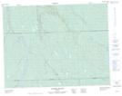
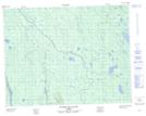
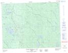
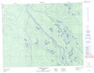
Rivière Joncas NTS Map Sheets