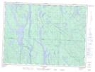
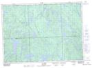
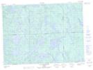
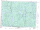
Maps showing Lac Joybert, Rivière-Kipawa; Témiscamingue, Quebec
Lac Joybert is a Lake located in Rivière-Kipawa; Témiscamingue, Quebec and has an elevation of 335 meters.
- Latitude: 47° 0' 5'' North (decimal: 47.0013889)
- Longitude: 78° 0' 19'' West (decimal: -78.0052778)
- Topography Feature Category: Lake
- Geographical Feature: Lac
- Canadian Province/Territory: Quebec
- Elevation: 335 meters
- Location: Rivière-Kipawa; Témiscamingue
- Atlas of Canada Locator Map: Lac Joybert
- GPS Coordinate Locator Map: Lac Joybert Lat/Long
Lac Joybert NTS Map Sheets
031K13 Lac Dumoine Topographic Map at 1:50,000 scale
031L16 Lac Sairs Topographic Map at 1:50,000 scale
031M01 Lac Ogascanane Topographic Map at 1:50,000 scale
031N04 Lac Antiquois Topographic Map at 1:50,000 scale
031K Deep River Topographic Map at 1:250,000 scale
031L North Bay Topographic Map at 1:250,000 scale
031M Ville-Marie Topographic Map at 1:250,000 scale
031N Grand-Lac-Victoria Topographic Map at 1:250,000 scale