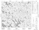
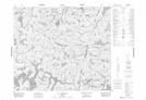
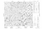
Maps showing Lac Junot, Caniapiscau; Caniapiscau, Quebec
Lac Junot is a Lake located in Caniapiscau; Caniapiscau, Quebec and has an elevation of 577 meters.
- Latitude: 54° 45' 6'' North (decimal: 54.7516667)
- Longitude: 68° 31' 13'' West (decimal: -68.5202778)
- Topography Feature Category: Lake
- Geographical Feature: Lac
- Canadian Province/Territory: Quebec
- Elevation: 577 meters
- Location: Caniapiscau; Caniapiscau
- Atlas of Canada Locator Map: Lac Junot
- GPS Coordinate Locator Map: Lac Junot Lat/Long
Lac Junot NTS Map Sheets