Maps showing Rivière Kanaaupscow, Baie-James; Jamésie, Quebec
Rivière Kanaaupscow is a River located in Baie-James; Jamésie, Quebec and has an elevation of 177 meters.
- Latitude: 54° 14' 56'' North (decimal: 54.2488889)
- Longitude: 76° 10' 57'' West (decimal: -76.1825)
- Topography Feature Category: River
- Geographical Feature: Rivière
- Canadian Province/Territory: Quebec
- Elevation: 177 meters
- Location: Baie-James; Jamésie
- Atlas of Canada Locator Map: Rivière Kanaaupscow
- GPS Coordinate Locator Map: Rivière Kanaaupscow Lat/Long
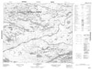
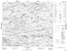
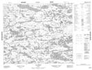
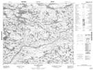
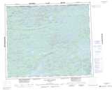
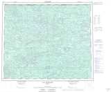
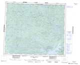
Rivière Kanaaupscow NTS Map Sheets
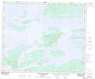
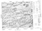
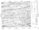
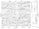
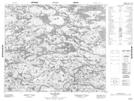
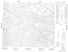
033F10 Passe Awapakamich Topographic Map at 1:50,000 scale
033I10 Lac Choret Topographic Map at 1:50,000 scale
033I11 Lac Chuly Topographic Map at 1:50,000 scale
033I12 Lac Danglade Topographic Map at 1:50,000 scale
033J05 Lac Goffreteau Topographic Map at 1:50,000 scale
033J06 Lac Daureillant Topographic Map at 1:50,000 scale
033J09 Lac Simiot Topographic Map at 1:50,000 scale
033J10 Lac Dervilliers Topographic Map at 1:50,000 scale
033J11 Lac Kinglet Topographic Map at 1:50,000 scale
033K01 Ruisseau Barneuf Topographic Map at 1:50,000 scale
033K08 Lac Barrois Topographic Map at 1:50,000 scale
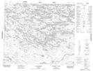
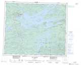
033F Lac Sakami Topographic Map at 1:250,000 scale
033I Lac Mistanukaw Topographic Map at 1:250,000 scale
033J Lac Kinglet Topographic Map at 1:250,000 scale
033K Riviere Denys Topographic Map at 1:250,000 scale