Maps showing Rivière Kénogamistuk, Rivière-Koksoak; Kativik, Quebec
Rivière Kénogamistuk is a River located in Rivière-Koksoak; Kativik, Quebec.
- Latitude: 57° 20' 41'' North (decimal: 57.3447222)
- Longitude: 70° 44' 58'' West (decimal: -70.7494444)
- Topography Feature Category: River
- Geographical Feature: Rivière
- Canadian Province/Territory: Quebec
- Location: Rivière-Koksoak; Kativik
- GPS Coordinate Locator Map: Rivière Kénogamistuk Lat/Long
Rivière Kénogamistuk NTS Map Sheets
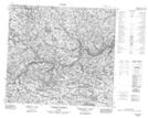
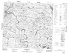
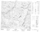
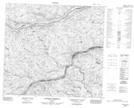
024D13 Ruisseau Soupras Topographic Map at 1:50,000 scale
024D14 Riviere Delay Topographic Map at 1:50,000 scale
024E02 Lac Goret Topographic Map at 1:50,000 scale
024E03 Ruisseau Missegle Topographic Map at 1:50,000 scale
024E07 Riviere Potier Topographic Map at 1:50,000 scale
034A09 Riviere Messin Topographic Map at 1:50,000 scale
034A10 Lac Chapron Topographic Map at 1:50,000 scale
034A16 Ruisseau Boulogne Topographic Map at 1:50,000 scale
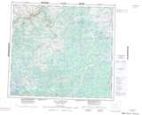
024D Lac Maricourt Topographic Map at 1:250,000 scale
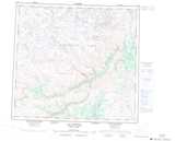
024E Lac Aigneau Topographic Map at 1:250,000 scale
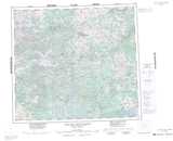
034A Lac Des Loups Marins Topographic Map at 1:250,000 scale