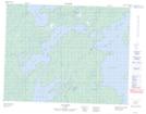
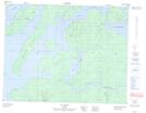
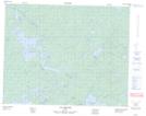
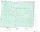
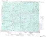
Maps showing Île Kirk, Baie-James; Jamésie, Quebec
Île Kirk is a Island located in Baie-James; Jamésie, Quebec and has an elevation of 244 meters.
- Latitude: 50° 58' 15'' North (decimal: 50.9708333)
- Longitude: 76° 55' 5'' West (decimal: -76.9180555)
- Topography Feature Category: Island
- Geographical Feature: Île / Ile
- Canadian Province/Territory: Quebec
- Elevation: 244 meters
- Location: Baie-James; Jamésie
- Atlas of Canada Locator Map: Île Kirk
- GPS Coordinate Locator Map: Île Kirk Lat/Long
Île Kirk NTS Map Sheets