Maps showing Rivière Kogaluc, Baie-d'Hudson; Kativik, Quebec
Rivière Kogaluc is a River located in Baie-d'Hudson; Kativik, Quebec and has an elevation of 15 meters.
- Latitude: 59° 41' 36'' North (decimal: 59.6933333)
- Longitude: 77° 34' 56'' West (decimal: -77.5822222)
- Topography Feature Category: River
- Geographical Feature: Rivière
- Canadian Province/Territory: Quebec
- Elevation: 15 meters
- Location: Baie-d'Hudson; Kativik
- Atlas of Canada Locator Map: Rivière Kogaluc
- GPS Coordinate Locator Map: Rivière Kogaluc Lat/Long
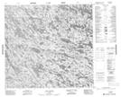
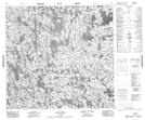
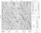
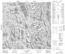
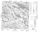
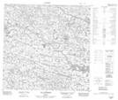
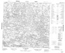
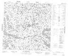
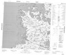
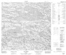
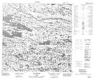
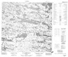
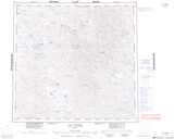
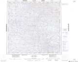
Rivière Kogaluc NTS Map Sheets
034J08 Lac Canade Topographic Map at 1:50,000 scale
034J09 Lac Lanoix Topographic Map at 1:50,000 scale
034J10 Lac Mecto Topographic Map at 1:50,000 scale
034J15 Lac Tukimuattuq Topographic Map at 1:50,000 scale
034N07 Lac Mangnuc Topographic Map at 1:50,000 scale
034N08 Lac Ajurissaq Topographic Map at 1:50,000 scale
034N10 Lac Siegfried Topographic Map at 1:50,000 scale
034N11 Lac Mirqulilik Topographic Map at 1:50,000 scale
034N12 Reef Bay Topographic Map at 1:50,000 scale
034O03 Lac Tasiat Topographic Map at 1:50,000 scale
034O04 Lac Poineau Topographic Map at 1:50,000 scale
034O05 Lac Alorutchaak Topographic Map at 1:50,000 scale
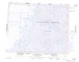
034J Lac Vernon Topographic Map at 1:250,000 scale
034N Kogaluk Bay Topographic Map at 1:250,000 scale
034O Lac Anuc Topographic Map at 1:250,000 scale