Canada Topographic Maps

Rivière Koktac Topo Maps

Topography maps and Latitude/Longitude Location

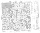
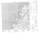
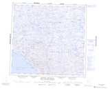
Maps showing Rivière Koktac, Baie-d'Hudson; Kativik, Quebec

Rivière Koktac is a River located in Baie-d'Hudson; Kativik, Quebec.

  • Latitude: 59° 2' 47'' North   (decimal: 59.0463889)
  • Longitude: 78° 13' 26'' West   (decimal: -78.2238889)
  • Topography Feature Category: River
  • Geographical Feature: Rivière
  • Canadian Province/Territory: Quebec
  • Location: Baie-d'Hudson; Kativik
  • Atlas of Canada Locator Map: Rivière Koktac
  • GPS Coordinate Locator Map: Rivière Koktac Lat/Long

Rivière Koktac NTS Map Sheets

034K13 Lac Dutort Topographic Map at 1:50,000 scale

034K14 Lac Quinijulik Topographic Map at 1:50,000 scale

034K15 Lac Boulet Topographic Map at 1:50,000 scale

034K16 Lac Sailly Topographic Map at 1:50,000 scale

034L16 Riviere Nauberakvik Topographic Map at 1:50,000 scale

034M01 Pointe Despins Topographic Map at 1:50,000 scale

034K Riviere Innuksuac Topographic Map at 1:250,000 scale

034L Inukjuak Topographic Map at 1:250,000 scale

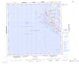
034M Map Not Available Topographic Map at 1:250,000 scale

 
Buy Topographic Maps DVD
Newsletter Sign-up

Yes, I want to receive map store discounts.


Bookmark and Share