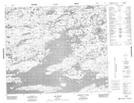
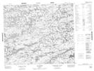
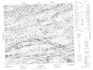
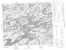
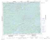
Maps showing Rivière Laforge, Baie-James; Jamésie, Quebec
Rivière Laforge is a River located in Baie-James; Jamésie, Quebec and has an elevation of 398 meters.
- Latitude: 54° 13' 9'' North (decimal: 54.2192943)
- Longitude: 72° 35' 48'' West (decimal: -72.5967514)
- Topography Feature Category: River
- Geographical Feature: Rivière
- Canadian Province/Territory: Quebec
- Elevation: 398 meters
- Location: Baie-James; Jamésie
- Atlas of Canada Locator Map: Rivière Laforge
- GPS Coordinate Locator Map: Rivière Laforge Lat/Long
Rivière Laforge NTS Map Sheets