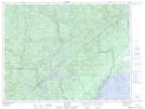
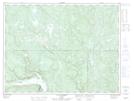
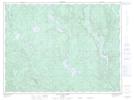
Maps showing Rivière Laliberté, Rivière-aux-Outardes; Manicouagan, Quebec
Rivière Laliberté is a River located in Rivière-aux-Outardes; Manicouagan, Quebec and has an elevation of 213 meters.
- Latitude: 49° 5' 4'' North (decimal: 49.0844869)
- Longitude: 68° 57' 10'' West (decimal: -68.9528264)
- Topography Feature Category: River
- Geographical Feature: Rivière
- Canadian Province/Territory: Quebec
- Elevation: 213 meters
- Location: Rivière-aux-Outardes; Manicouagan
- Atlas of Canada Locator Map: Rivière Laliberté
- GPS Coordinate Locator Map: Rivière Laliberté Lat/Long
Rivière Laliberté NTS Map Sheets