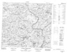
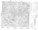
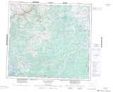
Maps showing Ruisseau Laperottière, Rivière-Koksoak; Kativik, Quebec
Ruisseau Laperottière is a River located in Rivière-Koksoak; Kativik, Quebec.
- Latitude: 56° 36' 17'' North (decimal: 56.6047222)
- Longitude: 71° 10' 28'' West (decimal: -71.1744444)
- Topography Feature Category: River
- Geographical Feature: Ruisseau
- Canadian Province/Territory: Quebec
- Location: Rivière-Koksoak; Kativik
- Atlas of Canada Locator Map: Ruisseau Laperottière
- GPS Coordinate Locator Map: Ruisseau Laperottière Lat/Long
Ruisseau Laperottière NTS Map Sheets