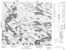
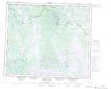
Maps showing Lac La Pinaudière, Lac-Juillet; Caniapiscau, Quebec
Lac La Pinaudière is a Lake located in Lac-Juillet; Caniapiscau, Quebec and has an elevation of 487 meters.
- Latitude: 54° 50' 18'' North (decimal: 54.8383333)
- Longitude: 64° 7' 2'' West (decimal: -64.1172222)
- Topography Feature Category: Lake
- Geographical Feature: Lac
- Canadian Province/Territory: Quebec
- Elevation: 487 meters
- Location: Lac-Juillet; Caniapiscau
- Atlas of Canada Locator Map: Lac La Pinaudière
- GPS Coordinate Locator Map: Lac La Pinaudière Lat/Long
Lac La Pinaudière NTS Map Sheets