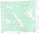
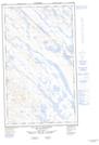
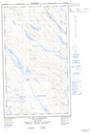
Maps showing Ruisseau La Potardière, Rivière-Koksoak; Kativik, Quebec
Ruisseau La Potardière is a River located in Rivière-Koksoak; Kativik, Quebec and has an elevation of 543 meters.
- Latitude: 55° 0' 16'' North (decimal: 55.0045515)
- Longitude: 67° 9' 12'' West (decimal: -67.1534514)
- Topography Feature Category: River
- Geographical Feature: Ruisseau
- Canadian Province/Territory: Quebec
- Elevation: 543 meters
- Location: Rivière-Koksoak; Kativik
- Atlas of Canada Locator Map: Ruisseau La Potardière
- GPS Coordinate Locator Map: Ruisseau La Potardière Lat/Long
Ruisseau La Potardière NTS Map Sheets