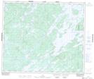
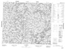
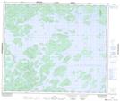
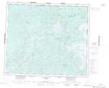
Maps showing Lac Largillier, Baie-James; Jamésie, Quebec
Lac Largillier is a Lake located in Baie-James; Jamésie, Quebec and has an elevation of 550 meters.
- Latitude: 54° 13' 43'' North (decimal: 54.2286111)
- Longitude: 70° 30' 35'' West (decimal: -70.5097222)
- Topography Feature Category: Lake
- Geographical Feature: Lac
- Canadian Province/Territory: Quebec
- Elevation: 550 meters
- Location: Baie-James; Jamésie
- Atlas of Canada Locator Map: Lac Largillier
- GPS Coordinate Locator Map: Lac Largillier Lat/Long
Lac Largillier NTS Map Sheets