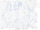
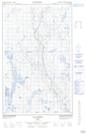
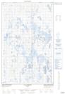
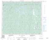
Maps showing Lac La Route, Rivière-Mouchalagane; Caniapiscau, Quebec
Lac La Route is a Lake located in Rivière-Mouchalagane; Caniapiscau, Quebec and has an elevation of 529 meters.
- Latitude: 52° 6' 45'' North (decimal: 52.1125594)
- Longitude: 68° 29' 24'' West (decimal: -68.4899555)
- Topography Feature Category: Lake
- Geographical Feature: Lac
- Canadian Province/Territory: Quebec
- Elevation: 529 meters
- Location: Rivière-Mouchalagane; Caniapiscau
- Atlas of Canada Locator Map: Lac La Route
- GPS Coordinate Locator Map: Lac La Route Lat/Long
Lac La Route NTS Map Sheets