Maps showing Rivière Latourette, Rivière-Koksoak; Kativik, Quebec
Rivière Latourette is a River located in Rivière-Koksoak; Kativik, Quebec and has an elevation of 158 meters.
- Latitude: 60° 52' 54'' North (decimal: 60.8816319)
- Longitude: 70° 8' 41'' West (decimal: -70.1446042)
- Topography Feature Category: River
- Geographical Feature: Rivière
- Canadian Province/Territory: Quebec
- Elevation: 158 meters
- Location: Rivière-Koksoak; Kativik
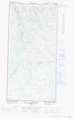
- Atlas of Canada Locator Map: Rivière Latourette
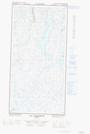
- GPS Coordinate Locator Map: Rivière Latourette Lat/Long
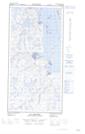
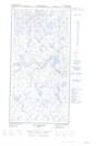
Rivière Latourette NTS Map Sheets