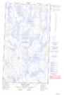
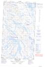
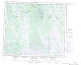
Maps showing Lac Le Gras, Lac-Juillet; Caniapiscau, Quebec
Lac Le Gras is a Lake located in Lac-Juillet; Caniapiscau, Quebec and has an elevation of 481 meters.
- Latitude: 54° 53' 46'' North (decimal: 54.8961111)
- Longitude: 65° 33' 48'' West (decimal: -65.5633333)
- Topography Feature Category: Lake
- Geographical Feature: Lac
- Canadian Province/Territory: Quebec
- Elevation: 481 meters
- Location: Lac-Juillet; Caniapiscau
- Atlas of Canada Locator Map: Lac Le Gras
- GPS Coordinate Locator Map: Lac Le Gras Lat/Long
Lac Le Gras NTS Map Sheets