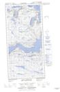
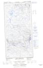
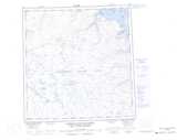
Maps showing Lac Lépine, Rivière-Koksoak; Kativik, Quebec
Lac Lépine is a Lake located in Rivière-Koksoak; Kativik, Quebec and has an elevation of 411 meters.
- Latitude: 61° 42' 14'' North (decimal: 61.7038582)
- Longitude: 72° 26' 13'' West (decimal: -72.4370106)
- Topography Feature Category: Lake
- Geographical Feature: Lac
- Canadian Province/Territory: Quebec
- Elevation: 411 meters
- Location: Rivière-Koksoak; Kativik
- Atlas of Canada Locator Map: Lac Lépine
- GPS Coordinate Locator Map: Lac Lépine Lat/Long
Lac Lépine NTS Map Sheets