Canada Topographic Maps

Lac Long Topo Maps

Topography maps and Latitude/Longitude Location

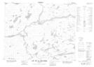
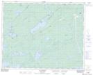
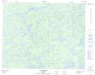
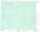
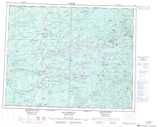
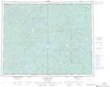
Maps showing Lac Long, Baie-James; Jamésie, Quebec

Lac Long is a Lake located in Baie-James; Jamésie, Quebec and has an elevation of 275 meters.

  • Latitude: 51° 30' 8'' North   (decimal: 51.5022222)
  • Longitude: 76° 2' 12'' West   (decimal: -76.0366667)
  • Topography Feature Category: Lake
  • Geographical Feature: Lac
  • Canadian Province/Territory: Quebec
  • Elevation: 275 meters
  • Location: Baie-James; Jamésie
  • Atlas of Canada Locator Map: Lac Long
  • GPS Coordinate Locator Map: Lac Long Lat/Long

Lac Long NTS Map Sheets

032N08 Lac De La Sicotiere Topographic Map at 1:50,000 scale

032N09 Lac Champion Topographic Map at 1:50,000 scale

032O05 Lac Bechard Topographic Map at 1:50,000 scale

032O12 Lac Des Montagnes Topographic Map at 1:50,000 scale

032N Lac Nemiscau Topographic Map at 1:250,000 scale

032O Lac Mesgouez Topographic Map at 1:250,000 scale

 
Buy Topographic Maps DVD
Newsletter Sign-up

Yes, I want to receive map store discounts.


Bookmark and Share