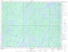
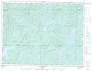
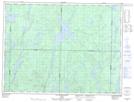
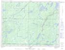
Maps showing Rivière Macho, Senneterre; Vallée-de-l'Or, Quebec
Rivière Macho is a River located in Senneterre; Vallée-de-l'Or, Quebec and has an elevation of 374 meters.
- Latitude: 48° 34' 36'' North (decimal: 48.5766667)
- Longitude: 76° 6' 50'' West (decimal: -76.1138889)
- Topography Feature Category: River
- Geographical Feature: Rivière
- Canadian Province/Territory: Quebec
- Elevation: 374 meters
- Location: Senneterre; Vallée-de-l'Or
- Atlas of Canada Locator Map: Rivière Macho
- GPS Coordinate Locator Map: Rivière Macho Lat/Long
Rivière Macho NTS Map Sheets
032B13 Lac Mesplet Topographic Map at 1:50,000 scale
032C09 Lac Achepabanca Topographic Map at 1:50,000 scale
032C16 Lac Wetetnagami Topographic Map at 1:50,000 scale
032G04 Lac Picquet Topographic Map at 1:50,000 scale
032B Reservoir Gouin Topographic Map at 1:250,000 scale
032C Senneterre Topographic Map at 1:250,000 scale
032G Chibougamau Topographic Map at 1:250,000 scale