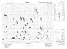
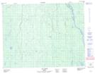
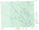
Maps showing Rivière Malouin, Baie-James; Jamésie, Quebec
Rivière Malouin is a River located in Baie-James; Jamésie, Quebec and has an elevation of 136 meters.
- Latitude: 50° 42' 3'' North (decimal: 50.7009237)
- Longitude: 79° 19' 22'' West (decimal: -79.3227820)
- Topography Feature Category: River
- Geographical Feature: Rivière
- Canadian Province/Territory: Quebec
- Elevation: 136 meters
- Location: Baie-James; Jamésie
- Atlas of Canada Locator Map: Rivière Malouin
- GPS Coordinate Locator Map: Rivière Malouin Lat/Long
Rivière Malouin NTS Map Sheets