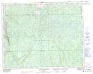
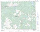
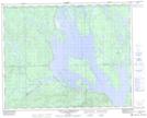
Maps showing Petit lac Manicouagan, Rivière-Mouchalagane; Caniapiscau, Quebec
Petit lac Manicouagan is a Lake located in Rivière-Mouchalagane; Caniapiscau, Quebec and has an elevation of 505 meters.
- Latitude: 51° 53' 34'' North (decimal: 51.8928472)
- Longitude: 67° 43' 30'' West (decimal: -67.7249670)
- Topography Feature Category: Lake
- Geographical Feature: Réservoir
- Canadian Province/Territory: Quebec
- Elevation: 505 meters
- Location: Rivière-Mouchalagane; Caniapiscau
- Atlas of Canada Locator Map: Petit lac Manicouagan
- GPS Coordinate Locator Map: Petit lac Manicouagan Lat/Long
Petit lac Manicouagan NTS Map Sheets