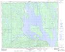
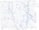
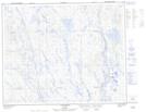
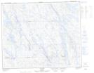
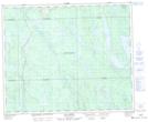
Maps showing Petite rivière Manicouagan, Rivière-Mouchalagane; Caniapiscau, Quebec
Petite rivière Manicouagan is a River located in Rivière-Mouchalagane; Caniapiscau, Quebec and has an elevation of 517 meters.
- Latitude: 51° 59' 31'' North (decimal: 51.9920154)
- Longitude: 67° 42' 44'' West (decimal: -67.7121885)
- Topography Feature Category: River
- Geographical Feature: Rivière
- Canadian Province/Territory: Quebec
- Elevation: 517 meters
- Location: Rivière-Mouchalagane; Caniapiscau
- Atlas of Canada Locator Map: Petite rivière Manicouagan
- GPS Coordinate Locator Map: Petite rivière Manicouagan Lat/Long
Petite rivière Manicouagan NTS Map Sheets