Canada Topographic Maps

Lac Matagami Topo Maps

Topography maps and Latitude/Longitude Location

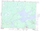
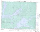
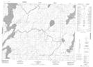
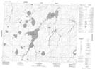
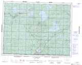
Maps showing Lac Matagami, Baie-James; Jamésie, Quebec

Lac Matagami is a Lake located in Baie-James; Jamésie, Quebec and has an elevation of 258 meters.

  • Latitude: 49° 52' 0'' North   (decimal: 49.8666667)
  • Longitude: 77° 26' 47'' West   (decimal: -77.4463889)
  • Topography Feature Category: Lake
  • Geographical Feature: Lac
  • Canadian Province/Territory: Quebec
  • Elevation: 258 meters
  • Location: Baie-James; Jamésie
  • Atlas of Canada Locator Map: Lac Matagami
  • GPS Coordinate Locator Map: Lac Matagami Lat/Long

Lac Matagami NTS Map Sheets

032F13 Matagami Topographic Map at 1:50,000 scale

032F14 Lac Olga Topographic Map at 1:50,000 scale

032K03 Lac Soscumica Topographic Map at 1:50,000 scale

032K04 Lac Bouchier Topographic Map at 1:50,000 scale

032F Lac Waswanipi Topographic Map at 1:250,000 scale

032K Lac Evans Topographic Map at 1:250,000 scale

 
Buy Topographic Maps DVD
Newsletter Sign-up

Yes, I want to receive map store discounts.


Bookmark and Share