Maps showing Rivière Mégiscane, Lac-Despinassy; Abitibi, Quebec
Rivière Mégiscane is a River located in Lac-Despinassy; Abitibi, Quebec and has an elevation of 337 meters.
- Latitude: 48° 28' 48'' North (decimal: 48.4800939)
- Longitude: 77° 8' 23'' West (decimal: -77.1397225)
- Topography Feature Category: River
- Geographical Feature: Rivière
- Canadian Province/Territory: Quebec
- Elevation: 337 meters
- Location: Lac-Despinassy; Abitibi
- Atlas of Canada Locator Map: Rivière Mégiscane
- GPS Coordinate Locator Map: Rivière Mégiscane Lat/Long
Rivière Mégiscane NTS Map Sheets
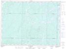
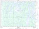
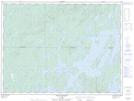
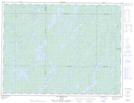
032B05 Lac Bongard Topographic Map at 1:50,000 scale
032B06 Baie Saraana Topographic Map at 1:50,000 scale
032B11 Baie Plamondon Topographic Map at 1:50,000 scale
032B12 Lac Megiscane Topographic Map at 1:50,000 scale
032C02 Paradis Topographic Map at 1:50,000 scale
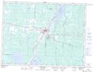
032C06 Senneterre Topographic Map at 1:50,000 scale
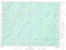
032C07 Lac Faillon Topographic Map at 1:50,000 scale
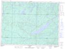
032C08 Lac Valmy Topographic Map at 1:50,000 scale
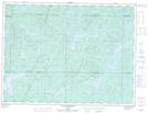
032C09 Lac Achepabanca Topographic Map at 1:50,000 scale
032B Reservoir Gouin Topographic Map at 1:250,000 scale
032C Senneterre Topographic Map at 1:250,000 scale