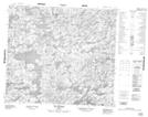
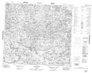
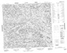
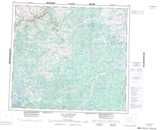
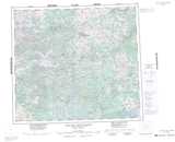
Maps showing Rivière Messin, Rivière-Koksoak; Kativik, Quebec
Rivière Messin is a River located in Rivière-Koksoak; Kativik, Quebec.
- Latitude: 56° 39' 51'' North (decimal: 56.6641667)
- Longitude: 72° 12' 28'' West (decimal: -72.2077778)
- Topography Feature Category: River
- Geographical Feature: Rivière
- Canadian Province/Territory: Quebec
- Location: Rivière-Koksoak; Kativik
- Atlas of Canada Locator Map: Rivière Messin
- GPS Coordinate Locator Map: Rivière Messin Lat/Long
Rivière Messin NTS Map Sheets