Canada Topographic Maps

Lac Minto Topo Maps

Topography maps and Latitude/Longitude Location

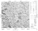
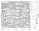
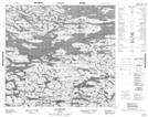
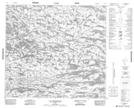
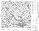
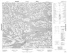
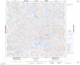
Maps showing Lac Minto, Baie-d'Hudson; Kativik, Quebec

Lac Minto is a Lake located in Baie-d'Hudson; Kativik, Quebec.

  • Latitude: 57° 13' 7'' North   (decimal: 57.2186111)
  • Longitude: 75° 0' 45'' West   (decimal: -75.0125)
  • Topography Feature Category: Lake
  • Geographical Feature: Lac
  • Canadian Province/Territory: Quebec
  • Location: Baie-d'Hudson; Kativik
  • Atlas of Canada Locator Map: Lac Minto
  • GPS Coordinate Locator Map: Lac Minto Lat/Long

Lac Minto NTS Map Sheets

034G01 Lac Bouchaud Topographic Map at 1:50,000 scale

034G02 Lac Levitre Topographic Map at 1:50,000 scale

034G03 Lac Dornon Topographic Map at 1:50,000 scale

034G04 Lac Tikirartuq Topographic Map at 1:50,000 scale

034G06 Riviere Qullinap Kuunga Topographic Map at 1:50,000 scale

034G07 Colline Qummuangajualuk Topographic Map at 1:50,000 scale

034G Lac Minto Topographic Map at 1:250,000 scale

 
Buy Topographic Maps DVD
Newsletter Sign-up

Yes, I want to receive map store discounts.


Bookmark and Share