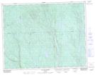
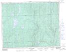
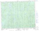
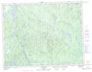
Maps showing Rivière Mistassini, Saint-Félicien; Le Domaine-du-Roy, Quebec
Rivière Mistassini is a River located in Saint-Félicien; Le Domaine-du-Roy, Quebec and has an elevation of 181 meters.
- Latitude: 48° 42' 22'' North (decimal: 48.7061343)
- Longitude: 72° 19' 8'' West (decimal: -72.3189383)
- Topography Feature Category: River
- Geographical Feature: Rivière
- Canadian Province/Territory: Quebec
- Elevation: 181 meters
- Location: Saint-Félicien; Le Domaine-du-Roy
- Atlas of Canada Locator Map: Rivière Mistassini
- GPS Coordinate Locator Map: Rivière Mistassini Lat/Long
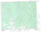
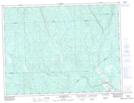
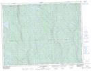
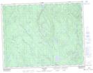
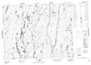
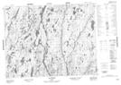
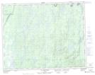
Rivière Mistassini NTS Map Sheets
032A09 Roberval Topographic Map at 1:50,000 scale
032A16 Dolbeau-Mistassini Topographic Map at 1:50,000 scale
032H01 Melancon Topographic Map at 1:50,000 scale
032H02 Girardville Topographic Map at 1:50,000 scale
032H07 Lac Blondelas Topographic Map at 1:50,000 scale
032H09 Lac Clair Topographic Map at 1:50,000 scale
032H10 Lac Aux Huards Topographic Map at 1:50,000 scale
032H15 Lac Des Cygnes Topographic Map at 1:50,000 scale
032I02 Lac Verreault Topographic Map at 1:50,000 scale
032I07 Lac Pauli Topographic Map at 1:50,000 scale
032I08 Lac Primont Topographic Map at 1:50,000 scale
032I09 Lac Daniel Topographic Map at 1:50,000 scale
032I10 Lac Des Passes Topographic Map at 1:50,000 scale
032A Roberval Topographic Map at 1:250,000 scale
032H Riviere Mistassini Topographic Map at 1:250,000 scale
032I Baie Abatagouche Topographic Map at 1:250,000 scale