Canada Topographic Maps

Rivière Mistinik Topo Maps

Topography maps and Latitude/Longitude Location

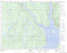
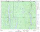
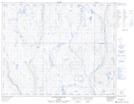
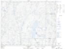
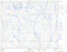
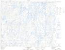
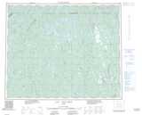
Maps showing Rivière Mistinik, Rivière-Mouchalagane; Caniapiscau, Quebec

Rivière Mistinik is a River located in Rivière-Mouchalagane; Caniapiscau, Quebec.

  • Latitude: 51° 36' 49'' North   (decimal: 51.6136111)
  • Longitude: 69° 3' 55'' West   (decimal: -69.0652778)
  • Topography Feature Category: River
  • Geographical Feature: Rivière
  • Canadian Province/Territory: Quebec
  • Location: Rivière-Mouchalagane; Caniapiscau
  • GPS Coordinate Locator Map: Rivière Mistinik Lat/Long

Rivière Mistinik NTS Map Sheets

022N11 Lac Landriaux Topographic Map at 1:50,000 scale

022N14 Lac La Fouille Topographic Map at 1:50,000 scale

023C03 Riviere Sechelles Topographic Map at 1:50,000 scale

023C06 Lac Sechelles Topographic Map at 1:50,000 scale

023C07 Lac Cananville Topographic Map at 1:50,000 scale

023C11 Lac Despinolles Topographic Map at 1:50,000 scale

022N Reservoir Manicouagan Topographic Map at 1:250,000 scale

023C Lac Vallard Topographic Map at 1:250,000 scale

 
Buy Topographic Maps DVD
Newsletter Sign-up

Yes, I want to receive map store discounts.


Bookmark and Share