Canada Topographic Maps

Muy Topo Maps

Topography maps and Latitude/Longitude Location

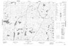
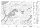
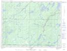
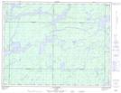
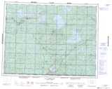
Maps showing Muy, Baie-James; Jamésie, Quebec

Muy is a Geographical area located in Baie-James; Jamésie, Quebec.

  • Latitude: 49° 14' North   (decimal: 49.2333332)
  • Longitude: 76° 6' West   (decimal: -76.0999999)
  • Topography Feature Category: Geographical area
  • Geographical Feature: Canton
  • Canadian Province/Territory: Quebec
  • Location: Baie-James; Jamésie
  • Atlas of Canada Locator Map: Muy
  • GPS Coordinate Locator Map: Muy Lat/Long

Muy NTS Map Sheets

032F01 Lac De La Ligne Topographic Map at 1:50,000 scale

032F08 Lac Pusticamica Topographic Map at 1:50,000 scale

032G04 Lac Picquet Topographic Map at 1:50,000 scale

032G05 Lac Margry Topographic Map at 1:50,000 scale

032F Lac Waswanipi Topographic Map at 1:250,000 scale

032G Chibougamau Topographic Map at 1:250,000 scale

 
Buy Topographic Maps DVD
Newsletter Sign-up

Yes, I want to receive map store discounts.


Bookmark and Share