Canada Topographic Maps

Lac Nantais Topo Maps

Topography maps and Latitude/Longitude Location

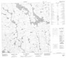
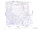
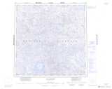
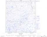
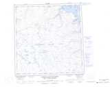
Maps showing Lac Nantais, Rivière-Koksoak; Kativik, Quebec

Lac Nantais is a Lake located in Rivière-Koksoak; Kativik, Quebec.

  • Latitude: 60° 59' 6'' North   (decimal: 60.985)
  • Longitude: 73° 59' 40'' West   (decimal: -73.9944444)
  • Topography Feature Category: Lake
  • Geographical Feature: Lac
  • Canadian Province/Territory: Quebec
  • Location: Rivière-Koksoak; Kativik
  • Atlas of Canada Locator Map: Lac Nantais
  • GPS Coordinate Locator Map: Lac Nantais Lat/Long

Lac Nantais NTS Map Sheets

035A13 Goulet Qurngualuk Topographic Map at 1:50,000 scale

035A14 Ruisseau Interrompu Topographic Map at 1:50,000 scale

035B16 No Title Topographic Map at 1:50,000 scale

035G01 Lac Flaherty Topographic Map at 1:50,000 scale

035H04 Lac Vergons Topographic Map at 1:50,000 scale

035A Lac Klotz Topographic Map at 1:250,000 scale

035B Lac Couture Topographic Map at 1:250,000 scale

035G Lacs Nuvilic Topographic Map at 1:250,000 scale

035H Cratere Du Nouveau-Quebec Topographic Map at 1:250,000 scale

 
Buy Topographic Maps DVD
Newsletter Sign-up

Yes, I want to receive map store discounts.


Bookmark and Share